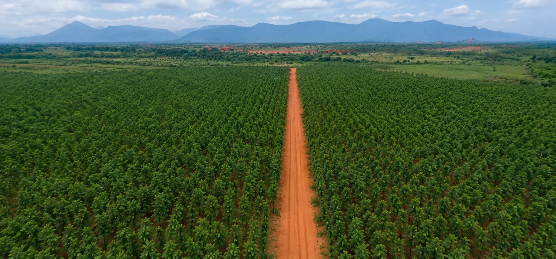
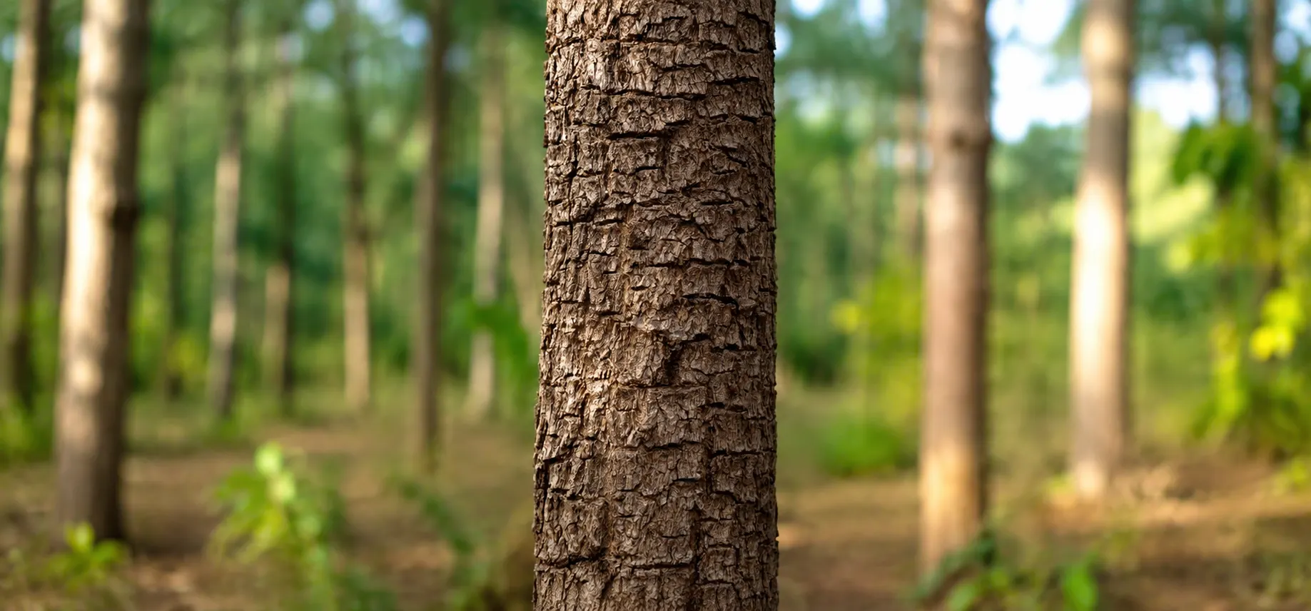
Quarterly drone survey completed over the Nellore project; canopy-health imagery captured for investor reports.
Published 22 June 2026, By Field Operations
Quick answerQuarterly drone survey completed over the Nellore project; canopy-health imagery captured for investor reports. This update covers activity in Nellore (SPSR Nellore) and is geotagged to the project location (14.4426, 79.9865). Field metrics shown are sample placeholders in this build, replaced with verified figures once each report is compiled and reviewed.
[verify]Area surveyed (sample)
[verify]Canopy cover (sample)
[verify]Flagged zones
A quarterly drone survey covered the Nellore blocks, capturing geotagged canopy imagery used in investor reports and to target ground inspections.
Orthomosaic imagery captured across surveyed blocks
Any stress zones flagged for ground verification
Imagery archived to each plot record
Processed survey metrics are added to investor dashboards after review. Figures above are sample placeholders pending the verified report.
Sample field data: The metrics on this update are illustrative placeholders demonstrating the report format. Replace them with verified survival, growth and survey figures from the field record before publication.